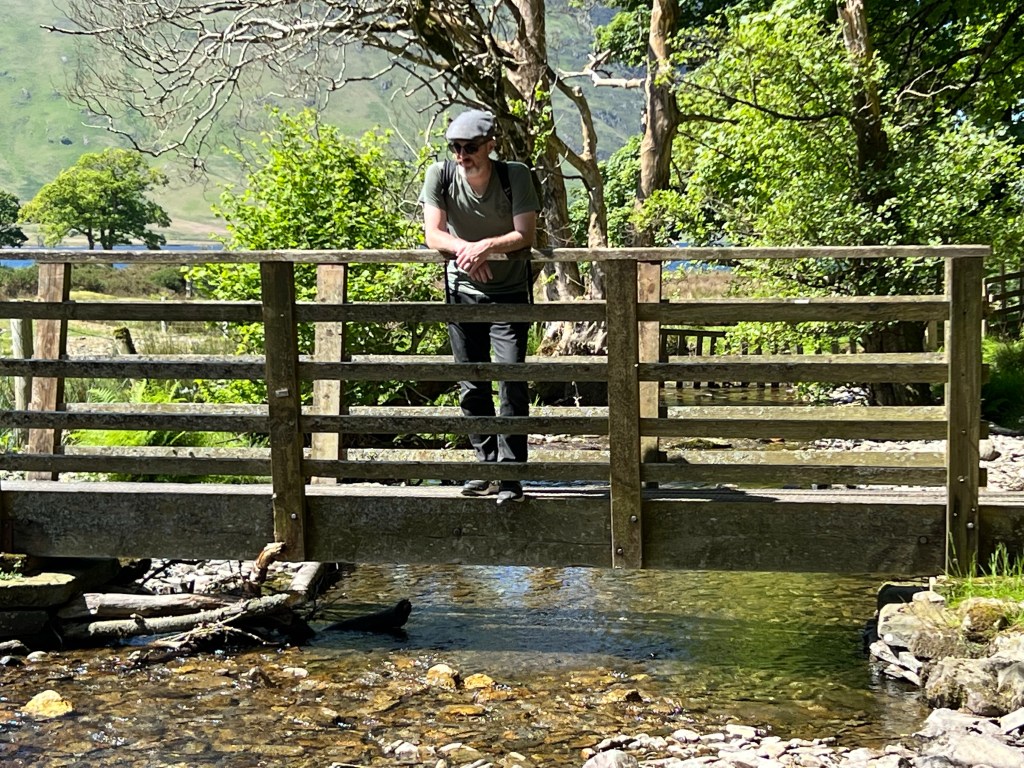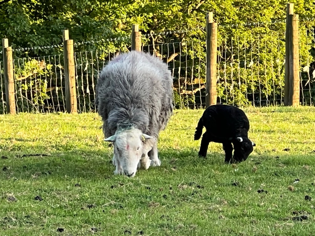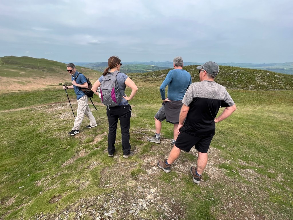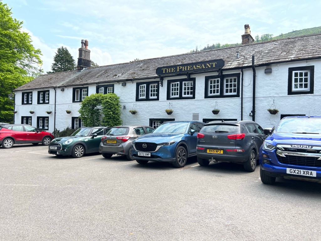

After a lot of wine and a late night for some (everyone but me), we all had a quiet morning before Danny took us on a very scenic drive around the Ard peninsula.
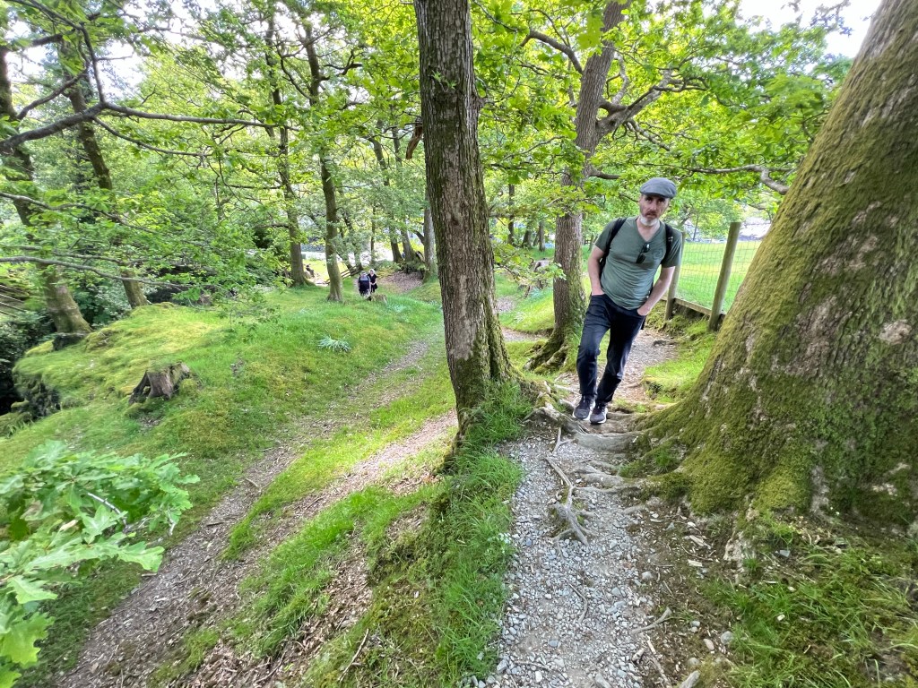
But first, Luke and I took Freddie for a walk to the supermarket. He was extremely well behaved and didn’t do any of the annoying things our own dog does.

Danny, with a medium amount of interference and obstruction from Peter, cooked up an absolutely perfect breakfast.

Danny does the mushrooms with a melty cheese and marmite and they were indeed magical! I shall be giving this a try at home.
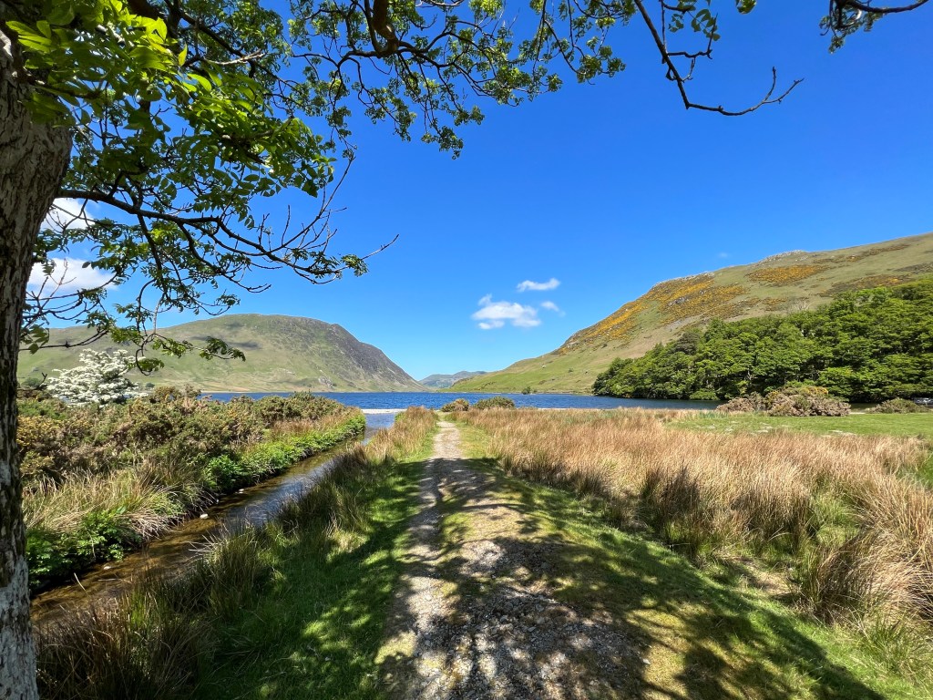
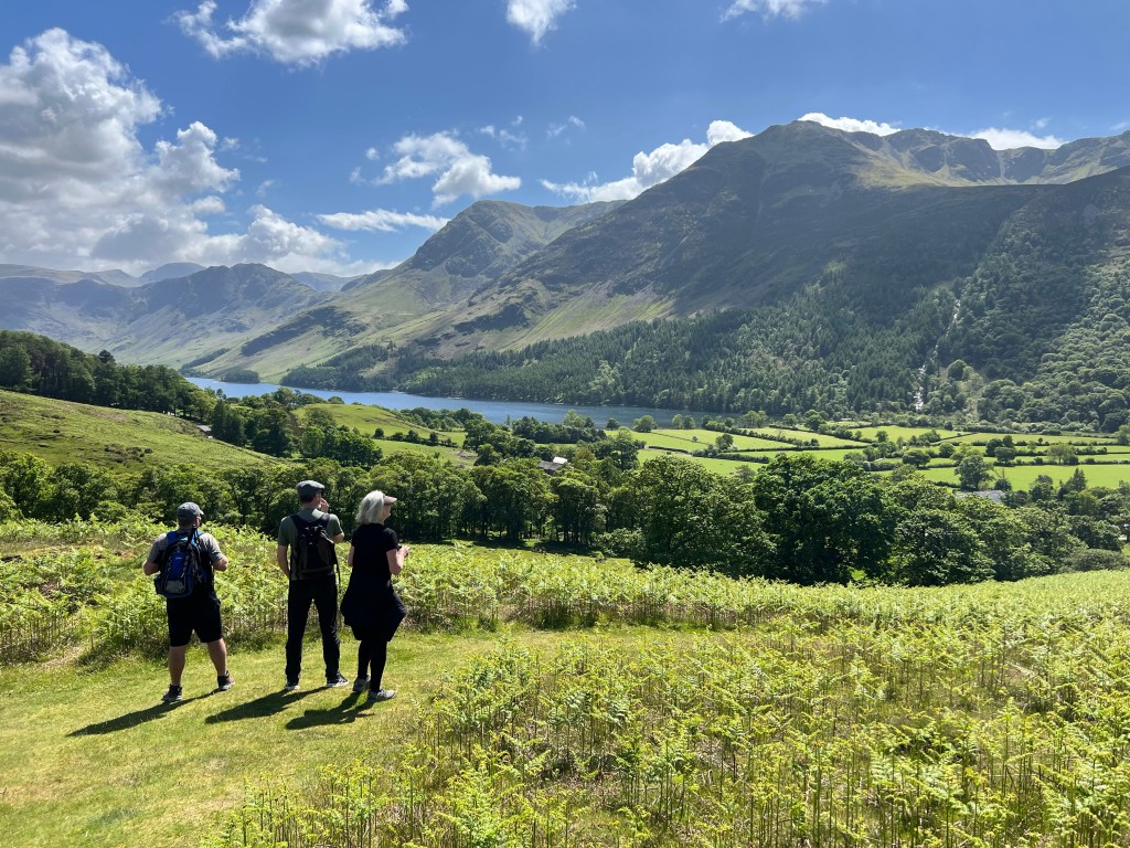
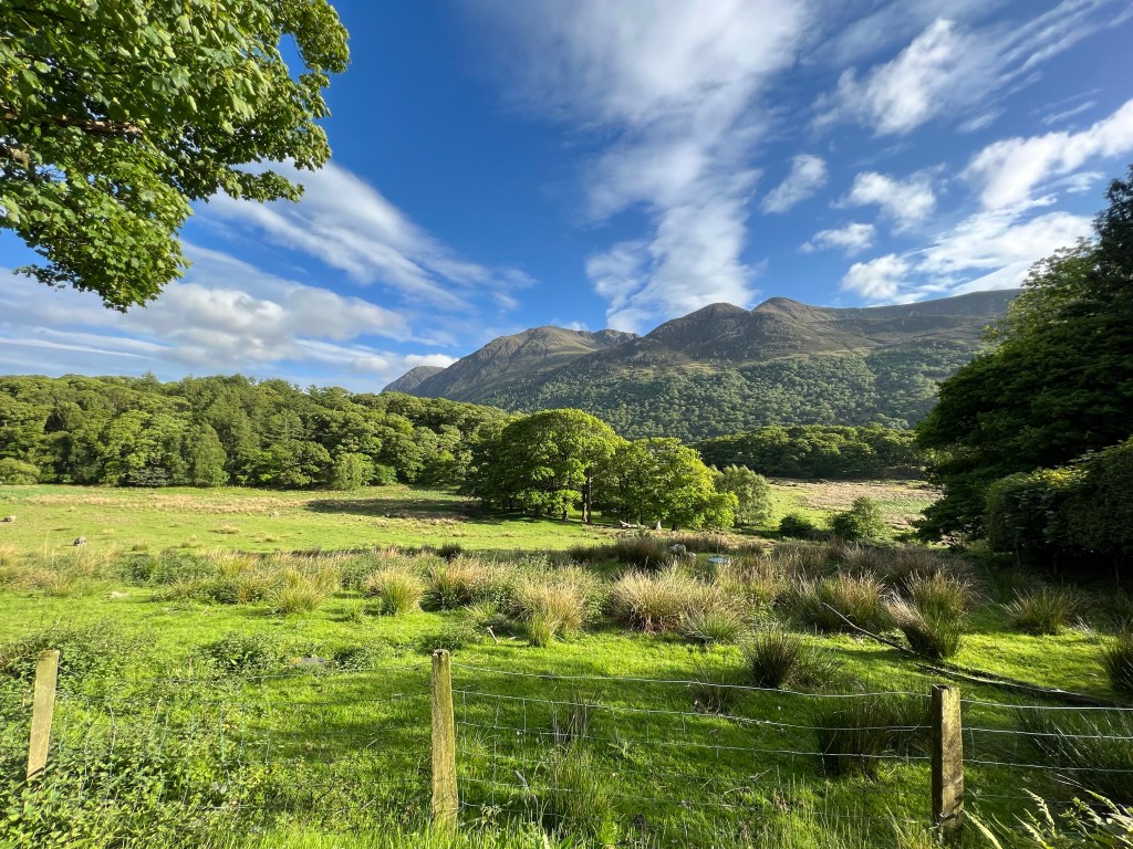
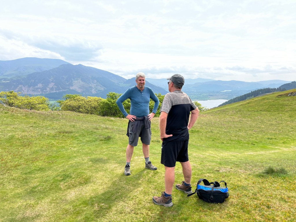
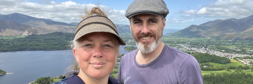
Eventually we got ourselves into the car with Danny at the helm and Peter assisting with directions. Luke and I were left to admire the rolling green landscape and blue skies.

The houses along the coast are lovely colours.

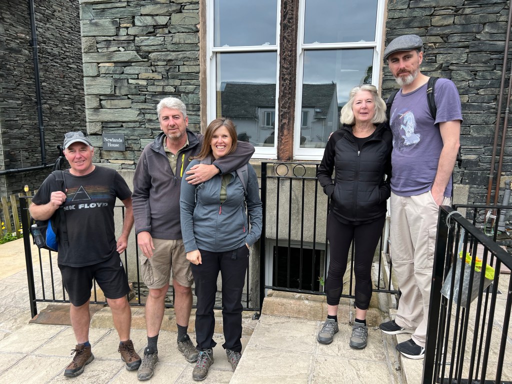
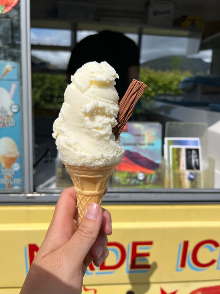
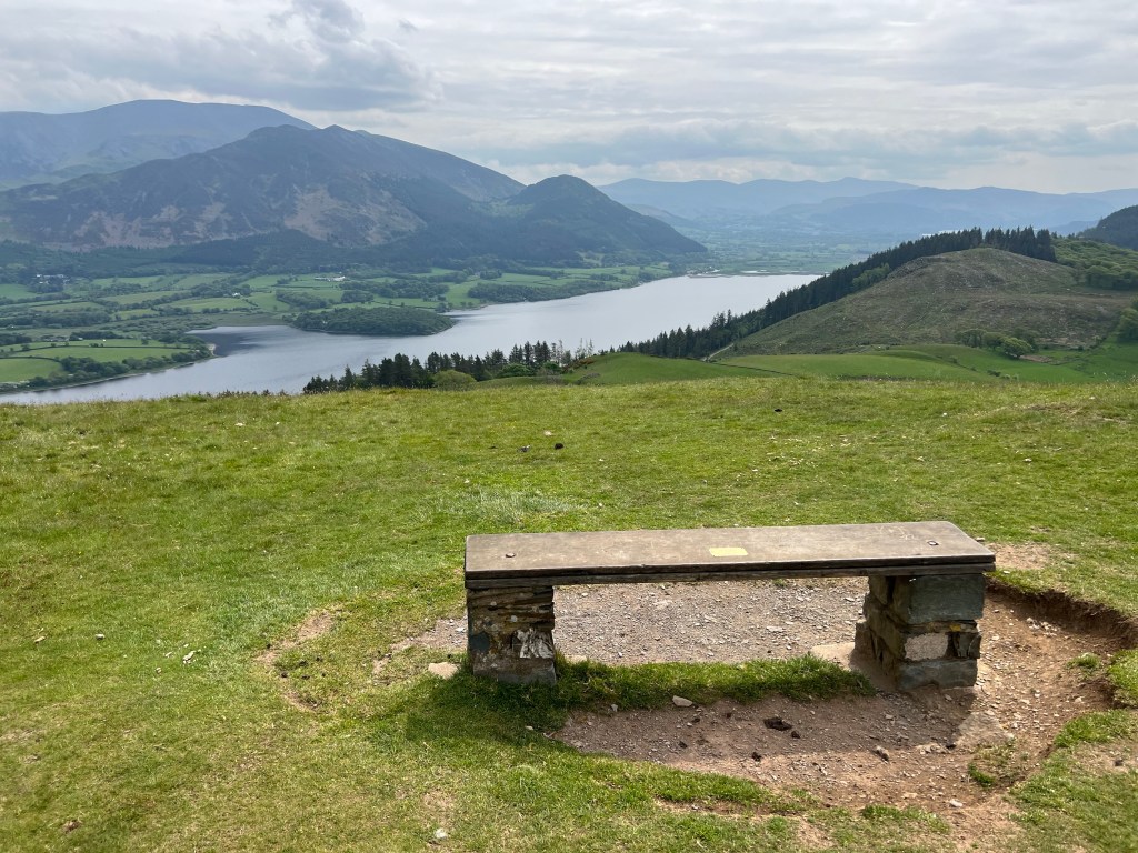
We spotted an icecream van and got out for a stretch and some photos. Lucky we captured the sky at this point because the predicted storms that Danny had pooh-poohed earlier were lurking over the horizon.

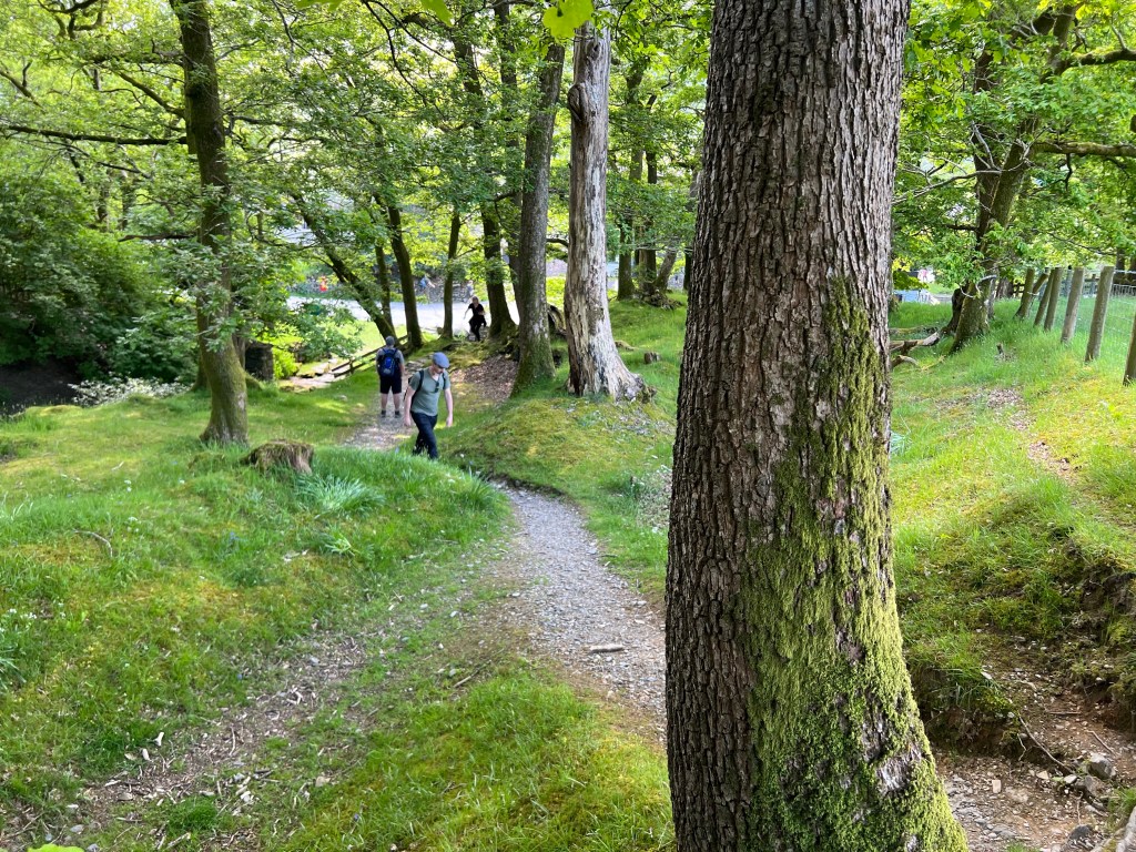
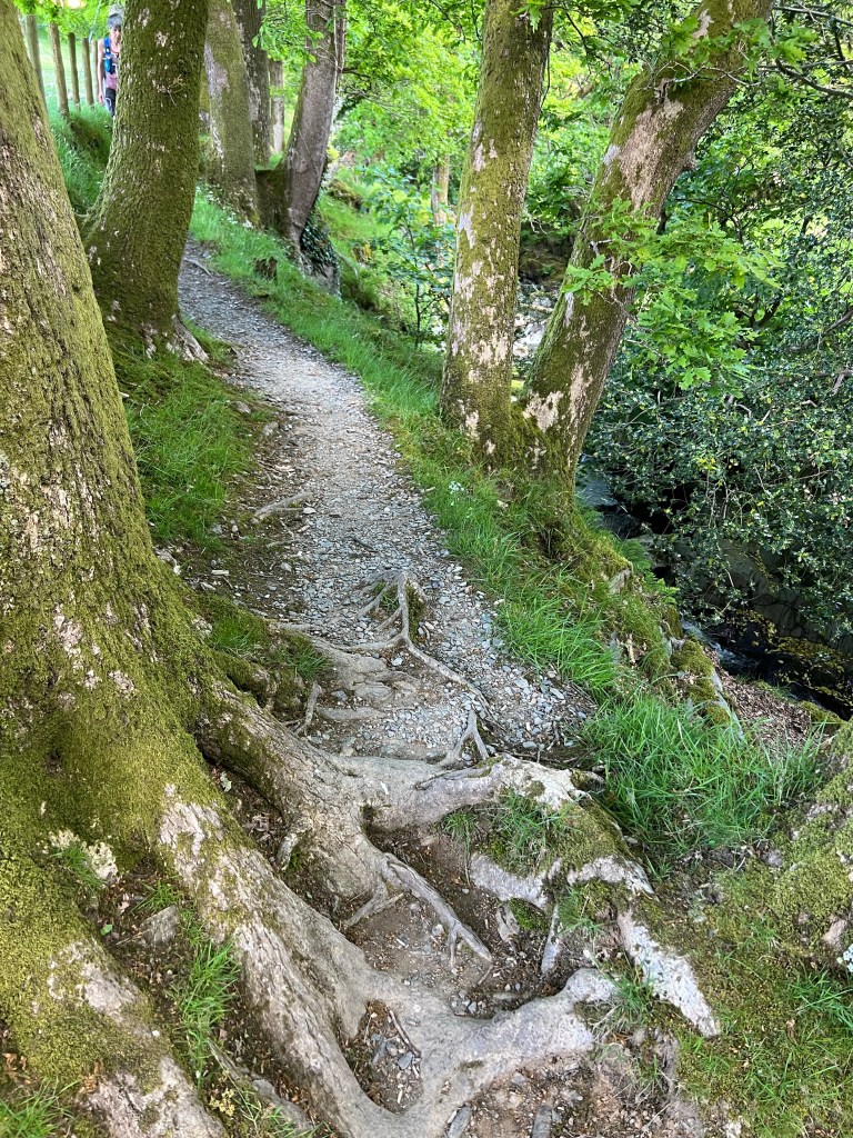
The weather was just lovely and, most importantly, not too hot.


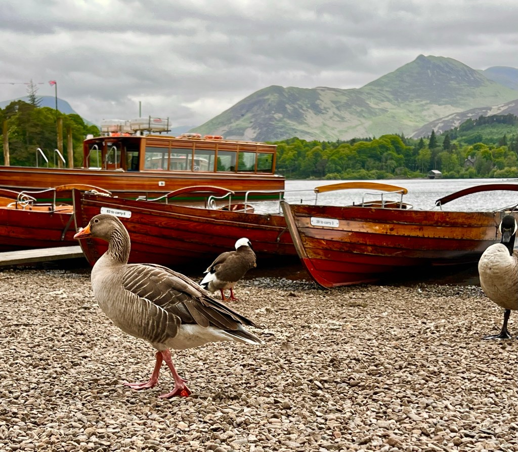
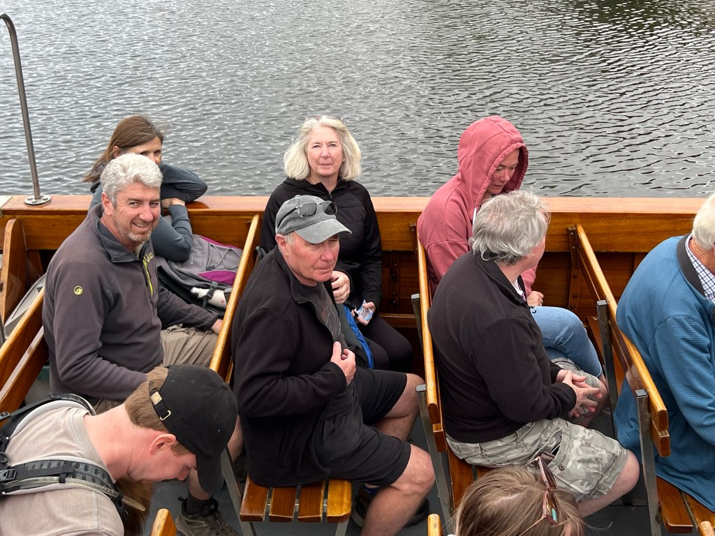
We drove along the coast for a while and Danny pointed out landmarks. We lined up for the ferry across the narrow strait.


Not long after we drove off the ferry the rain started absolutely smashing down and then the hail started.

Apparently you can be fined in Ireland for driving through a puddle and drenching a pedestrian, which doesn’t seem like a policy in line with the famed Irish love of craic but there you go.

We stopped at the door of the Mourne Mountains in a little town called Newcastle. The mountain behind the town made it look a little like the Lake District but it was on the Irish Sea. It has a very shallow bay, apparently when the tide is low you can walk a very long way out.

We took a walk along the very pretty seafront, which was marred by a high cement wall and worse around the town’s public swimming pool.
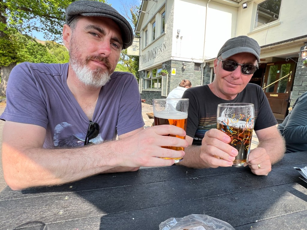
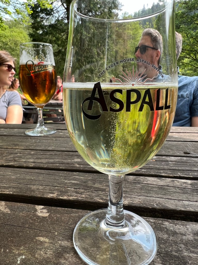
We stopped in a pub for a drink. The whole place was very quiet for a not-totally-freezing Sunday afternoon.

On the way home the sun came out.

We finished the evening with a picky tea of fancy cheese and Peter’s delicious soy and chilli cucumbers – yet another dish I’ll have to try out at home.

Good night!